Use case 01
Climate & disasters. Plan for the fire before the smoke.
Greece faces wildfires, floods, heatwaves and earthquakes, sometimes in the same year. A digital twin brings terrain, weather, land use, infrastructure and people into one model, so responders and planners can test scenarios in advance.
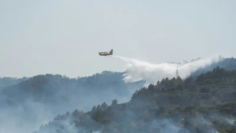 Photo: Serena Repice Lentini · Unsplash License
01 · The questions
Climate risk analytics. The questions to ask before a crisis.
Climate risk analytics starts with concrete questions, asked before a crisis rather than during one. These are the kinds of questions a climate twin would help planners and responders explore. Each answer would come as a range with its uncertainty, not as a single number.
Which roads and bridges are likely to flood after a given amount of rainfall?
Where should cooling centres go during a long heatwave?
Which buildings and services are most exposed in a strong earthquake scenario?
02 · What the twin would model
Climate risk management. Every hazard in one model.
Extreme weather in Greece rarely hits one system at a time. A climate twin brings terrain, weather, land use, infrastructure and people into one model, so climate risk management can test a plan against several hazards together. Past events are used to check the model against what really happened.
Layers
03 · Audience
Climate risk in Greece. Who it is for.
A climate twin is meant for the people who plan for fires, floods, heat and earthquakes before they happen, and for those who carry the cost when they do. Pilot partners help decide what we build first.
- Civil protection planners
- Regional authorities and municipalities
- Fire and emergency researchers
- Insurers
- Infrastructure operators
Climate & disasters
Greece wildfires: how the daily fire risk map works, and what it does not tell you
Greece wildfires: how the official daily fire risk map works, what categories 1 to 5 mean, and how it differs from a long-term exposure model.
2026-11-04 · 5 min read
04 · Go deeper
Go deeper.
These pages look at one hazard or question in more detail, each with its own questions, layers and sources.
05 · Public sources
Public sources we plan to start from.
We plan to start from open public data and add partner data only with clear agreements. For each dataset we record where it came from, when it was updated and what its limits are.
- S1European Forest Fire Information System (EFFIS)effis.jrc.ec.europa.eu
- S2Copernicus Emergency Management Serviceemergency.copernicus.eu
- S3Copernicus Climate Change Service (C3S)climate.copernicus.eu
- S4National Observatory of Athens — meteo.grmeteo.gr
- S5National Observatory of Athens — Institute of Geodynamicsgein.noa.gr
Listing a source does not mean we have a partnership with it. These are public datasets we plan to evaluate.
06 · Research
From our research.
Background reading from our research notes, with a source for every claim. These articles explain the public data and the methods behind this use case.
Climate & disasters
Greece wildfires: how the daily fire risk map works, and what it does not tell you
Greece wildfires: how the official daily fire risk map works, what categories 1 to 5 mean, and how it differs from a long-term exposure model.
2026-11-04 · 5 min read
Climate & disasters
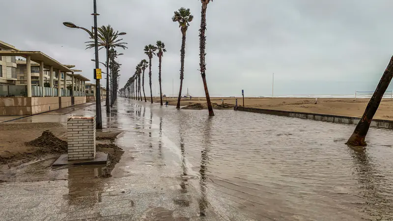
Storm Daniel and flood risk in Thessaly: what the satellites mapped
Storm Daniel brought record rain to Thessaly in September 2023. What Copernicus EMS mapped during the Greece floods, and the lessons for flood planning.
2026-11-04 · 6 min read
Climate & disasters
The 2023 Evros wildfire, and what a digital twin could add
In 2023 a fire in Evros, Greece, became the largest EU wildfire recorded since 2000. What it shows, and where digital twins can help planning.
2026-11-03 · 5 min read
Climate & water
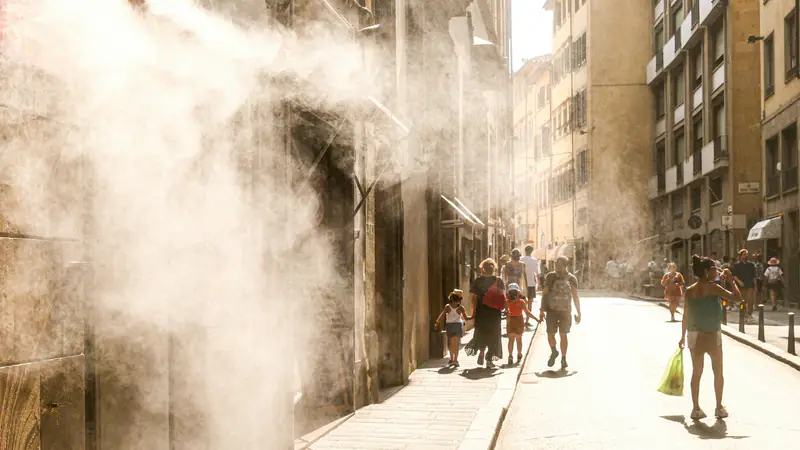
Water shortage in Greece: what the data says, and how scenarios help
What is water shortage, and how serious is it in Greece? Official EYDAP reservoir data for Attica, EU indicators, and why scenarios beat one forecast.
2026-11-04 · 5 min read
07 · Questions
Climate & disasters. Frequently asked questions.
Short answers to common questions, based on the public sources cited on this site. If yours is missing, write to us.
What is the definition of climate-related hazards?
A climate-related hazard is a physical event or trend, such as a heatwave, drought, wildfire or flood, that can cause harm. Risk depends on more than the hazard: it also depends on who and what is exposed, and how vulnerable they are. That is why Greece's official daily fire danger map and a model of exposed homes, roads and people answer different questions.
What is the economic risk of the climate crisis for Greece?
Costs come through damaged homes, farms, roads and services. Two recent events show the scale: the 2023 Evros wildfire burned over 810 km², the largest in the EU since EFFIS records began in 2000, and Storm Daniel damaged over 700 km² of Greece's central agricultural belt. We do not publish our own cost estimates. Read more in our Evros wildfire post.
How exposed is Greece to climate change?
Greece faces wildfires, floods, heatwaves and drought, sometimes in the same year. The European Environment Agency names Greece among the countries where water scarcity happens mainly in spring and summer, and in Athens the heat island grew by up to 3.5 °C during the 2012 heat waves. Exposure varies strongly by place, as our water shortage post shows for Attica.
What is an example of climate risk?
Storm Daniel in September 2023 is one. Record rain fell on Thessaly, a river in Volos destroyed a bridge, and floodwater spread across the plain; in December about 10,000 hectares north of Lake Karla were still under water. The hazard was the rain. The risk came from the farms, villages and roads in its path. Our Storm Daniel post covers the details.
08 · Other use cases
Other use cases.
Every twin starts from a specific question asked by a real user. These are the other areas we are starting with.
Early access
Want to pilot this use case?
Tell us what you would like to model. Pilot partners help decide what we build first.
Concept stage. No product is live yet.