Use case 04
Cities. Test a street before you rebuild it.
In a heatwave, some neighbourhoods stay hot all night. A city twin maps heat, shade, green space, traffic and services block by block, so a municipality can try a change in the model before spending money on the street.
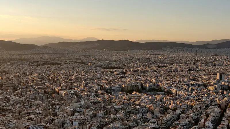 Photo: Mauricio Muñoz · Unsplash License
01 · The questions
Digital twin city. Questions to test before you build.
A digital twin city lets a municipality ask what a change would do before it pays for it. These are the kinds of questions a city twin would explore, street by street. Each answer would come with the data and assumptions behind it.
How much cooler could a street be with more trees or lighter surfaces?
What happens to traffic and air quality if a road is closed or pedestrianised?
Where will demand for services such as clinics or bus routes grow?
02 · What the twin would model
How a city digital twin works. The layers it would model.
A city digital twin combines buildings, streets, surfaces and green space with temperature, air quality, traffic and services. Together they show how heat, movement and demand relate, block by block. That is what makes a smart city digital twin useful for planning, not only for display.
Layers
03 · Audience
Urban planning teams. Who it is for.
A city twin is meant for the teams who plan and run a city day to day. Municipalities, planners and researchers can test a change in the model before spending money on the street.
- Municipalities
- Urban planners
- Architects
- Utility companies
- Researchers in urban climate
Cities
The urban heat island in Athens and Thessaloniki, and why the nights matter
What the urban heat island is, what studies show for Athens and Thessaloniki, why hot nights matter for health, and what cities can do about it.
2026-11-04 · 5 min read
04 · Go deeper
Go deeper.
These pages look at one hazard or question in more detail, each with its own questions, layers and sources.
05 · Public sources
Public sources we plan to start from.
We plan to start from open public data and add partner data only with clear agreements. For each dataset we record where it came from, when it was updated and what its limits are.
Listing a source does not mean we have a partnership with it. These are public datasets we plan to evaluate.
06 · Research
From our research.
Background reading from our research notes, with a source for every claim. These articles explain the public data and the methods behind this use case.
Cities
The urban heat island in Athens and Thessaloniki, and why the nights matter
What the urban heat island is, what studies show for Athens and Thessaloniki, why hot nights matter for health, and what cities can do about it.
2026-11-04 · 5 min read
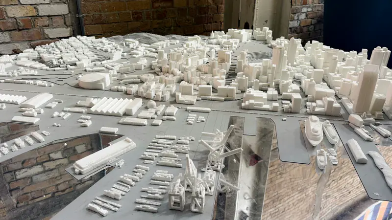
Digital twins
Digital twin examples: from aircraft and factories to cities and the planet
Five real digital twin examples, checked against official sources: NASA's concept, a BMW factory, Virtual Singapore, Helsinki 3D and Destination Earth.
2026-11-04 · 6 min read
Explainer
What is a digital twin, and why is Europe building one of the planet?
A plain guide to digital twins: what they are, how they differ from a map, and what the EU's Destination Earth shows about where they are heading.
2026-11-03 · 5 min read
07 · Questions
Cities. Frequently asked questions.
Short answers to common questions, based on the public sources cited on this site. If yours is missing, write to us.
What is a digital twin city?
It is a data model of one specific city that stays connected to new observations and can be run forward to explore "what if?". It combines buildings, streets, surfaces and green space with temperature, air quality, traffic and services. Unlike a 3D map, it lets a municipality try a change, such as more trees or a pedestrianised street, before spending money. See our plain guide to digital twins.
How do digital twin cities work?
Data on buildings, terrain, traffic and services, plus sensor readings, satellite images and statistics, is organised into a model of the city's parts and how they relate. New observations keep it up to date. Planners then change an input, run simulations and compare a range of outcomes with the assumptions shown. A semantic model, which knows which surfaces are roofs, walls and windows, makes analyses such as solar potential possible.
What are examples of city digital twins?
Virtual Singapore, led by the National Research Foundation with Dassault Systèmes, uses a semantic 3D model for analyses such as solar potential and flood impact. Helsinki 3D publishes its city information model and an aerial reality mesh as open data under CC BY 4.0, and uses them to estimate rooftop solar potential and heating demand. We compare them in our digital twin examples post.
What is a smart city?
The term usually describes a city that uses data and digital tools to plan and run its services. Data alone is not enough: a smart city also needs a way to test changes before the works start. A digital twin provides that, for example by trying a sustainable mobility measure, a street closure or a cooling plan in the model first and checking the effect on traffic, air and heat.
08 · Other use cases
Other use cases.
Every twin starts from a specific question asked by a real user. These are the other areas we are starting with.
Early access
Want to pilot this use case?
Tell us what you would like to model. Pilot partners help decide what we build first.
Concept stage. No product is live yet.